top of page


THE CHATTOOGA
PROTECT
ENJOY
BEAUTIFY
Maps
Below are maps of different sections of the Lower Chattooga River in Chattooga County, GA.
Upper Chattooga to Trion
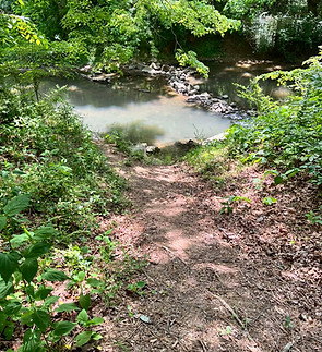
Launch from dirt path on Giles Rd, north of the bridge on Centerpost Rd. Rocky! Wear thick-soled shoes.

Trion to Summerville
Launch off the bank next to the Trion Rec Area. Steep take out at Summerville News past US27 bridge.

Summerville to Lyerly
Launch at Summerville News
NOTES: Steep launch, will need to hop the dam before take out.

Blue Trail: Lyerly to
Chattoogaville
This is a great paddle with a fully-equipped launch at each end.
bottom of page